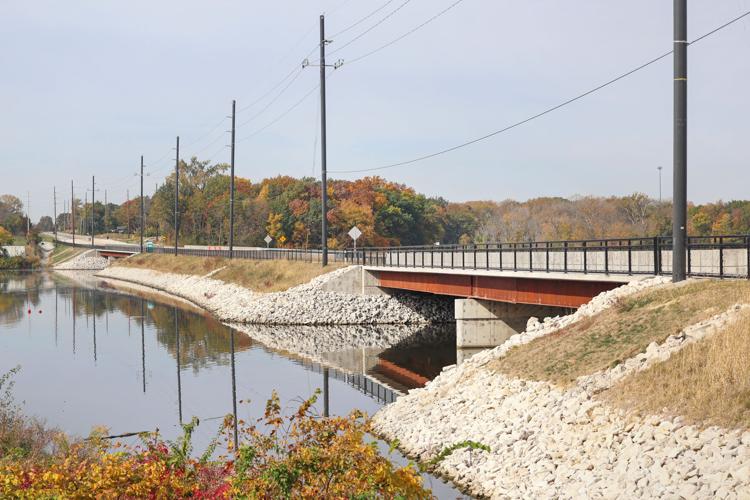
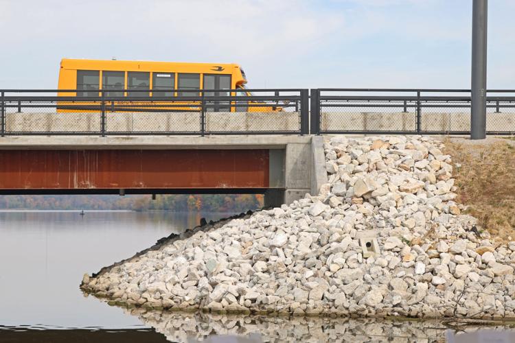
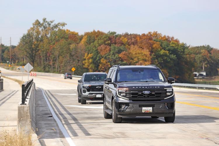
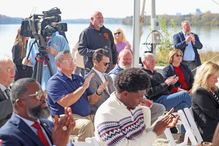
DECATUR — The new Reas Bridge spanning the top end of Lake Decatur is $32.7 million worth of concrete and steel but, at its official opening ceremony Monday, it was also hailed as a symbolic bridge over troubled political waters.
Former U.S. Rep. Rodney Davis, Mayor Julie Moore Wolfe, U.S. Sen. Dick Durbin, and Macon County Board Chairman Kevin Greenfield cut the ribbon for the Reas Bridge Road project in Decatur on Monday, Oct. 26.
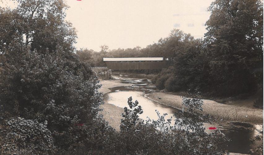
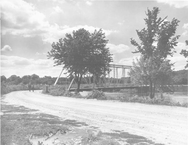
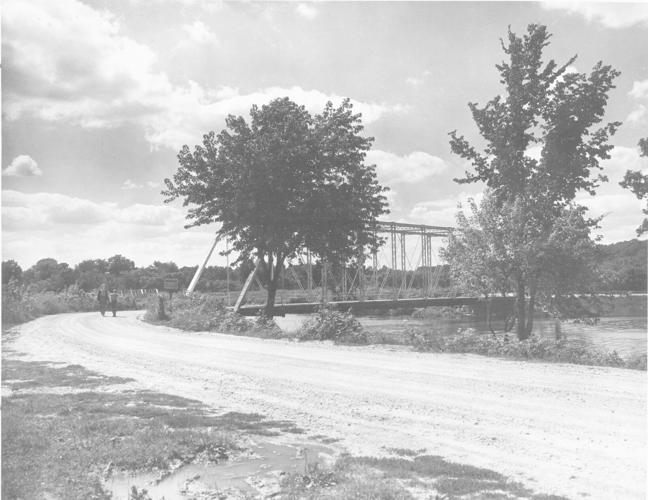
This 1948 H&R file photo shows what the Reas Bridge structure looked like in 1948, prior to it being replaced in the late 1950s as part of a project to construct two new bridges and eliminate a sharp curve in the roadway. The earlier structure predated the creation of Lake Decatur in 1922.
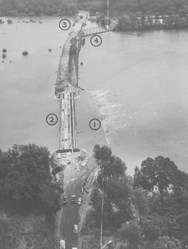
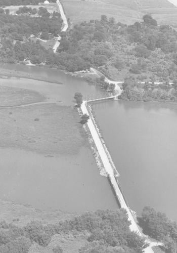
In this 1958 photo, Reas Bridge northeast of Decatur has been closed to traffic because high water covers the temporary roadway (1) around the slough span of construction (2). County Highway Supt. Alan N. Buck said water covered the roadway, but the construction project was not in danger. The new Reas Bridge (3) and the present bridge (4) are east of the slough span.
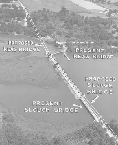
Sketched on this 1954 aerial photograph of the Reas Bridge area are the locations of the two bridge spans and the approaches. The white lines indicate the new bridge spans and approaches, bridge spans and approaches. The solid line shows how sharp curves will be eliminated. The river span, at the top of the picture, will be built first, probably next year. Plans have been completed. The County Board has also authorized preparation of plans for the slough span, at the bottom of the picture, and it may also be built this year if funds are available. Both spans will be paid for from the county's share of motor fuel tax funds.
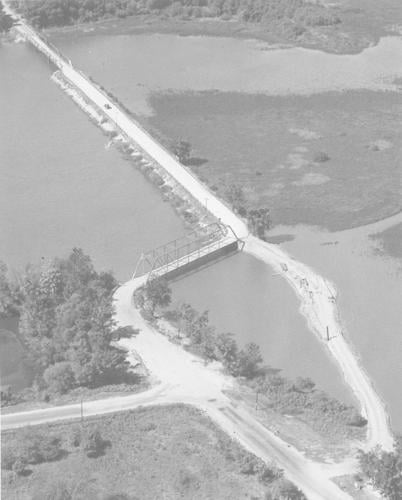
This 1954 H&R file photo shows the construction fill (lower right) for the building of a new river span at Rea's Bridge, which will replace the span to the left of the fill. This fill will be used by Contractor C. E. Burgett and does not represent the final approach for the new span, in which the two sharp turns at the present span will be eliminated. In the upper left corner is the slough span, which will also be replaced. Both river and slough spans are more than 40 years old. The new river span is one of the major projects in the 1954 county gas tax construction program.
Herald & Review file photos of the early versions of Reas Bridge.
Reas Bridge in 1948.
H&R FILE PHOTO
Reas Bridge looking south in 1890.
H&R FILE PHOTO
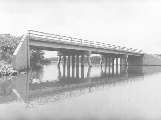
Reas Bridge in 1957.
H&R FILE PHOTO
In this 1958 photo, Reas Bridge northeast of Decatur has been closed to traffic because high water covers the temporary roadway (1) around the slough span of construction (2). County Highway Supt. Alan N. Buck said water covered the roadway, but the construction project was not in danger. The new Reas Bridge (3) and the present bridge (4) are east of the slough span.
H&R FILE PHOTO
Sketched on this 1954 aerial photograph of the Reas Bridge area are the locations of the two bridge spans and the approaches. The white lines indicate the new bridge spans and approaches, bridge spans and approaches. The solid line shows how sharp curves will be eliminated. The river span, at the top of the picture, will be built first, probably next year. Plans have been completed. The County Board has also authorized preparation of plans for the slough span, at the bottom of the picture, and it may also be built this year if funds are available. Both spans will be paid for from the county's share of motor fuel tax funds.
H&R FILE PHOTO
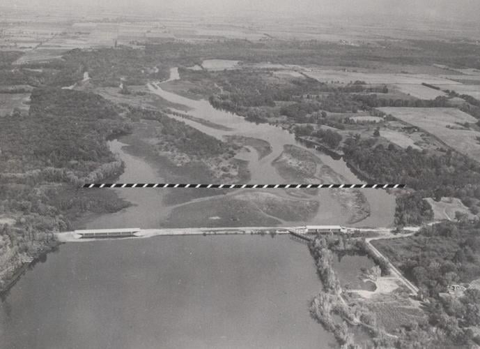
This 1966 H&R file photo shows the Sangamon Valley looking north from Reas Bridge. The dotted line is the location of the proposed Oakley dam.
H&R FILE PHOTO
This 1954 H&R file photo shows the construction fill (lower right) for the building of a new river span at Rea's Bridge, which will replace the span to the left of the fill. This fill will be used by Contractor C. E. Burgett and does not represent the final approach for the new span, in which the two sharp turns at the present span will be eliminated. In the upper left corner is the slough span, which will also be replaced. Both river and slough spans are more than 40 years old. The new river span is one of the major projects in the 1954 county gas tax construction program.
H&R FILE PHOTO
Reas Bridge in 1954.
H&R FILE PHOTO
Contact Tony Reid at (217) 421-7977. Follow him on Twitter: @TonyJReid
Former U.S. Rep. Rodney Davis, Mayor Julie Moore Wolfe, U.S. Sen. Dick Durbin, and Macon County Board Chairman Kevin Greenfield cut the ribbon for the Reas Bridge Road project in Decatur on Monday, Oct. 26.
This 1948 H&R file photo shows what the Reas Bridge structure looked like in 1948, prior to it being replaced in the late 1950s as part of a project to construct two new bridges and eliminate a sharp curve in the roadway. The earlier structure predated the creation of Lake Decatur in 1922.